Mitch Blank's North-German Genealogy Site
Mitch Blank
Kreis Uckermark/Prenzlau
Brandenburg
Navigation
Copyright ©1998-2018 byThis page created August 24th, 2001, last updated February 8th, 2018
Brandenburg

| ||||
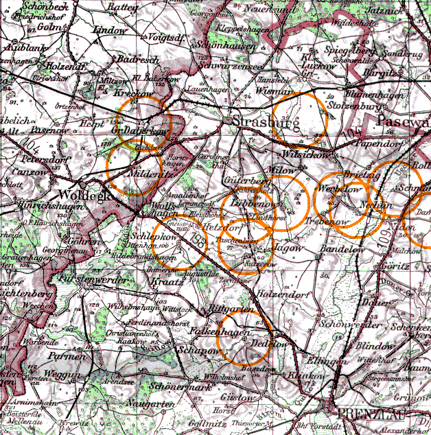
| To zoom out to a larger area map click here. | To zoom in to a more detailed map, click within any Gold Circle on the above map. | |||
|---|---|---|---|---|
The map covers an area of approximately 32 by 32 km (20 by 20 US miles).
Map image was adapted from Karte von Pommern 1:300K, Institute für Angewandte Geodäsie